The Lost River Saraswati: Did a Mighty River Vanish Beneath the Desert?
The story
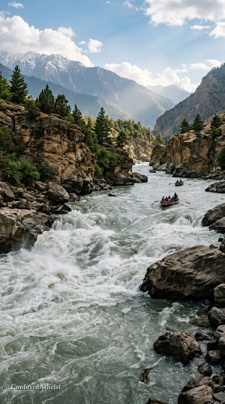
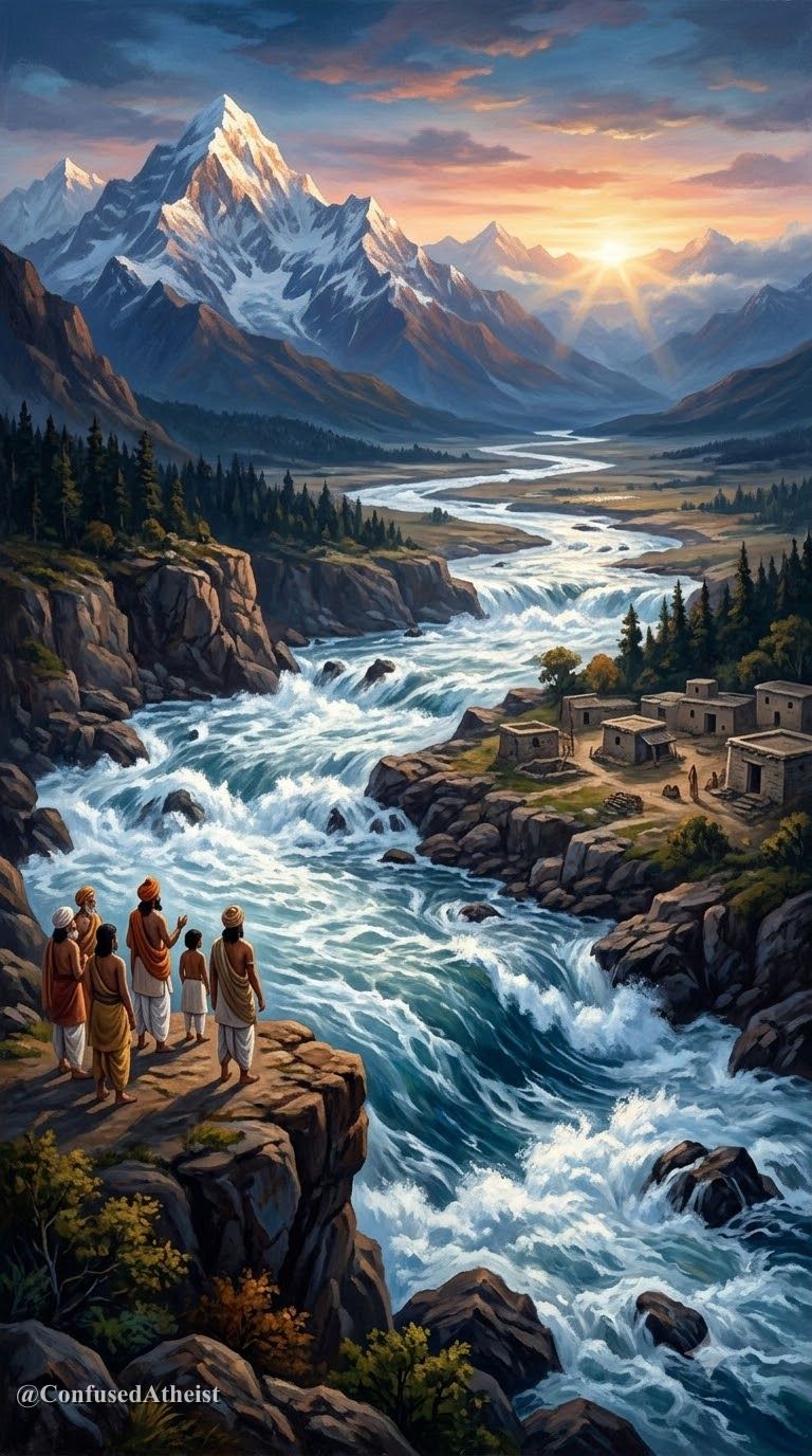
In the earliest books of the Rigveda (notably Mandala 2.41.16, 6.61, and the Nadistuti Sukta in 10.75), the Saraswati is celebrated not as a mythical subterranean stream, but as ambitame naditame devitame—the best of mothers, the best of rivers, the best of goddesses. The hymns describe a powerful, snow-fed river bursting from the mountains and flowing between the Yamuna and the Sutlej all the way to the sea (giribhyah a samudrat, Rigveda 7.95.2).
Yet in later Vedic literature—such as the Panchavimsha Brahmana and the Mahabharata (Shalya Parva)—the tone shifts dramatically. The texts report that the Saraswati dried up and disappeared into the desert sands at a place called Vinasana ("the place of vanishing").
For much of the 19th and early 20th centuries, many scholars wondered whether this river was purely poetic memory. Then satellite remote sensing and sediment coring began mapping what lay beneath the Thar Desert.
What the evidence shows
That a major ancient river system once flowed along the now-seasonal Ghaggar-Hakra bed across Haryana, Rajasthan, and Cholistan is 🟢 Well-documented, while on the exact millennium when perennial Himalayan glaciers stopped feeding it, 🟡 Scholars disagree.
- Satellite Paleochannels: Multispectral imagery from Landsat and ISRO’s Indian Remote Sensing (IRS) satellites traced a broad, buried riverbed—often several kilometers wide—running parallel to the Indus through northwestern India and eastern Pakistan toward the Rann of Kutch.
- Archaeological Settlement Clustering: More than 1,000 Harappan and Early/Mature Indus-Saraswati settlements (including Kalibangan, Banawali, Bhirrana, and Rakhigarhi) are densely clustered directly along the banks of the dried Ghaggar-Hakra channel rather than the modern Indus mainstem.
- Tributary Capture & Aridification: Fluvial sedimentology and isotope analysis indicate that the paleochannel was historically fed by two major Himalayan tributaries: the proto-Sutlej (which later shifted westward into the Indus) and the proto-Yamuna (which shifted eastward into the Ganga basin). Combined with the global 4.2-kiloyear monsoon weakening event (~2200–1900 BCE), the loss of these tributaries transformed the river into a seasonal monsoonal stream, triggering an eastward migration of Late Harappan populations toward the Gangetic plains.
Where experts disagree
While geologists and archaeologists agree on the reality of the Ghaggar-Hakra paleochannel and its dense Harappan settlement network, they debate the timing of its glacial flow.
Geologists such as K.S. Valdiya and historians like Michel Danino argue that the river remained a perennial snow-fed system into the 3rd millennium BCE, sustaining Mature Harappan cities until tectonic shifts around 1900 BCE severed its Himalayan headwaters.
Conversely, fluvial geochronology studies led by Peter Clift and Liviu Giosan (2012) using zircon U-Pb dating and optically stimulated luminescence (OSL) suggest that the Yamuna and Sutlej may have diverted away from the Ghaggar-Hakra several millennia earlier (between 8000 and 5000 BCE), and that the river which sustained the Harappan cities was primarily a monsoonal-fed system that dried up when the Indian summer monsoon weakened after 2000 BCE.
What we still don't know
We still do not have a continuous, high-resolution grid of dated sediment cores across the entire 1,500-kilometer length of the Ghaggar-Hakra-Nara system—especially across the border between Rajasthan and Cholistan—to pinpoint whether temporary Himalayan avulsions re-watered the channel during the 3rd millennium BCE.
We also cannot determine with certainty whether the Rigvedic hymns praising the roaring Saraswati were composed on its banks before 1900 BCE or preserved as sacred oral memory from an earlier epoch.
Sources
- Valdiya, K. S. Saraswati: The River That Disappeared. Universities Press, 2002.
- Radhakrishna, B. P., and Merh, S. S. (Eds.). Vedic Sarasvati: Evolutionary History of a Lost River of Northwestern India. Geological Society of India, 1999.
- Danino, Michel. The Lost River: On the Trail of the Sarasvati. Penguin Books, 2010.
- Giosan, Liviu, et al. "Fluvial landscapes of the Harappan Civilization." Proceedings of the National Academy of Sciences (PNAS), Vol. 109, No. 26, 2012.
- Jamison, Stephanie W., and Brereton, Joel P. The Rigveda: The Earliest Religious Poetry of India. Oxford University Press, 2014.
Evidence Labels
More like this
How Did the Indus Valley Map the Stars 4,000 Years Ago?
Harappan cities were aligned to the cardinal directions long before magnetic compasses. What do street grids and steatite seals reveal about their astronomy?
The Submerged Stones of Dwarka: What Lies Beneath the Water?
Archaeologists found submerged stone walls and anchors off Dwarka. How much connects to the epic legend of Krishna’s sunken city?